v.5.0 is out Now!

.jpg) SPH Engineering announces the release of UgCS 5.0 - The most significant UgCS update in years
SPH Engineering announces the release of UgCS 5.0 - The most significant UgCS update in years

 A New Era of Flight Planning: The Biggest UgCS Update Inspired by Professional Drone Pilots is coming
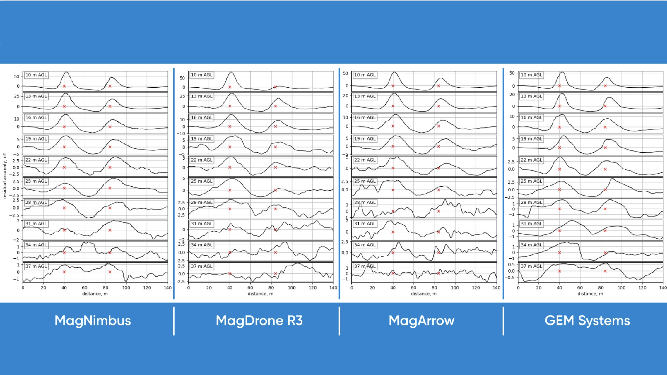
 Drone Technology enables three times faster Methane Emissions Monitoring in Landfills
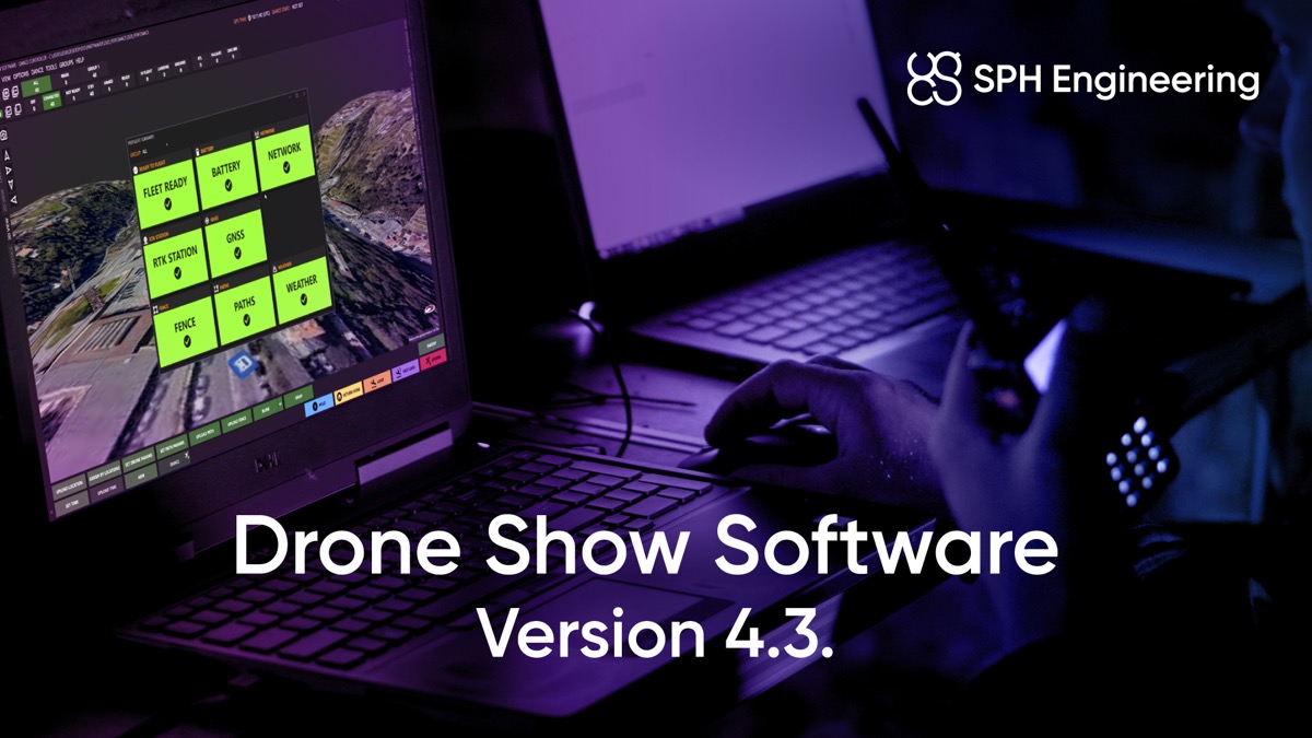 SPH Engineering presents Drone Show Software 4.3, elevating Drone Shows to new heights


.jpg)

.jpg)