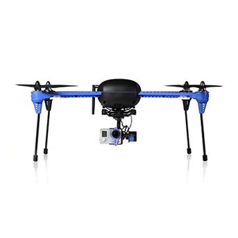
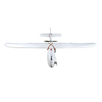
Affordable lightweight drone image and video processing software to create 2D maps and elevation models.
Features

Works offline in the field

Stitch orthophoto from georeferenced JPG images

Stitch multispectral 3-channel RGN JPEG images to generate NDVI indexes

Compatible with Micasense RedEdge-M/-MX

Generate DSM/elevation data from georeferenced JPG images


